For any Operations Director or Facility Manager, preventive maintenance has traditionally been a precarious balancing act between the cost of intervention and the risk of failure. In the classic model, reviews are scheduled by the calendar: "this valve is checked every six months" or "this transformer is inspected annually." However, this approach ignores a critical variable that only GIS technology can provide: context. Not all assets age the same way, and treating them uniformly in an Excel sheet is a recipe for wasted resources or, worse, unforeseen catastrophic failures.
The Error of "Blind" Maintenance
The major "pain point" for companies with distributed infrastructure is the lack of specialization in field data analysis. Does your team waste hours performing preventive inspections on assets that are in perfect condition, while other critical ones fail sooner than expected? This happens because planning is based on assumptions, not geolocated evidence. Without a visual layer that relates location, environment (humidity, salinity, usage), and fault history, preventive maintenance is little more than an administrative to-do list.
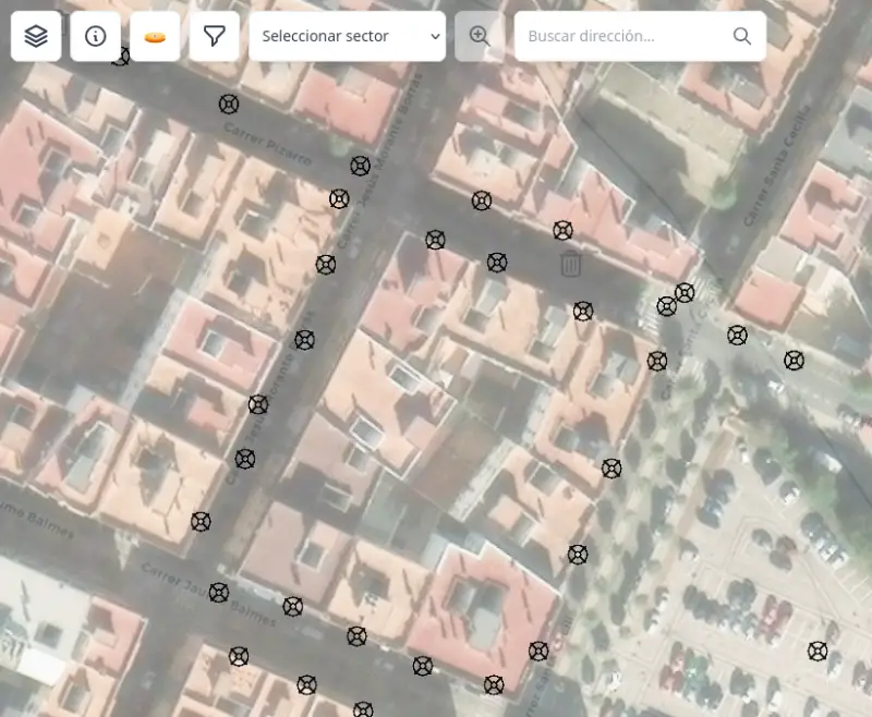
Field digitalization with Maptainer allows for breaking this cycle. By integrating a powerful GIS engine, the system not only tells you what needs to be maintained but shows you where problems are concentrated. If a cluster of assets in a specific area of the city shows a degradation rate higher than average, the system highlights it. This allows for a shift from date-based preventive maintenance to risk-based maintenance, optimizing the use of technical labor.
Offline First Technology: Guaranteeing Data at the Critical Point
One of the biggest obstacles to effective preventive maintenance is the quality of the collected data. If a technician performs an inspection in an underground machine room or a rural area without coverage and the application fails, the data from that inspection is often lost or filled in from memory hours later at the office. This introduces errors that invalidate any subsequent analysis.
Maptainer eliminates this risk with its Offline First technology. The technician carries the full power of GIS and dynamic forms in their pocket, functioning 100% without the need for internet. By recording pressure measurements, insulation status, or a thermal photograph locally, the system guarantees that the "forensic evidence" of the asset's condition is accurate and truthful. Subsequent automatic synchronization ensures that the central office has an up-to-date view of the infrastructure's "health," allowing for dynamic adjustments to preventive plans.
Optimizing CAPEX and ROI through the Digital Twin
Capital expenditure (CAPEX) is one of an organization's largest expenses. Extending the lifespan of an asset by 15% or 20% through intelligent preventive maintenance has a direct and massive impact on profitability. By using Maptainer, companies create a geospatial digital twin that accumulates intelligence with every visit.
This history allows for the identification of failure patterns that were previously invisible. For example, it might be discovered that a specific luminaire model systematically fails in areas with high vibration from heavy traffic. With this information, the Operations Director can decide to proactively replace those assets before they trigger a service crisis, transforming 100% digital field operations into a real competitive advantage.
Preventive Maintenance 4.0 cannot be managed with paper folders or spreadsheets that no one updates. Eliminating inefficiencies requires a platform that understands network topology and the importance of geolocation. By adopting a solution that integrates GIS, CMMS, and offline capabilities, organizations not only comply with safety regulations but also shield their bottom line against the unforeseen costs of corrective maintenance. It is time to stop reacting and start predicting, using the map as the ultimate management tool.