
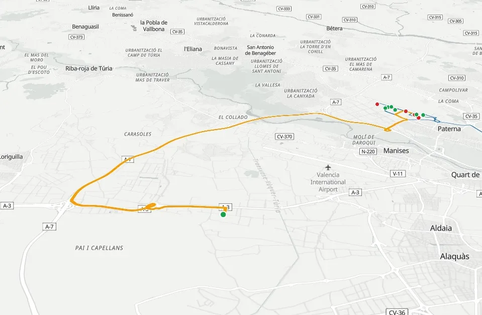
Plant CMMS or CMMS with native GIS: the difference lies in the data model.
A general-purpose CMMS is designed for a factory: location is a hierarchy inside a site, and travel does not exist as a variable. When your assets are spread across a territory, those two design decisions determine what you can query, whom you send and what cost reaches the work order. Here the two categories are compared capability by capability.
Six capabilities, two data models.
| Capability | Plant CMMS | CMMS with native GIS |
|---|---|---|
| Asset location | A text field with the address. It cannot be queried by polygon or by radius. | Real geometry in PostGIS. Spatial queries by polygon, point and radius, layer or reference. |
| Inventory visualisation | Browser markers. It chokes at a few thousand and forces you to page or filter. | MVT vector tiles generated from PostGIS, cached on disk and served by a dedicated Nginx. |
| Route calculation | Straight-line distance, or none at all. | Real driving-time matrices with Valhalla, and optimisation with VROOM. |
| Working without coverage | Read-only mode or a cache of whatever was last viewed. It does not last a working day. | Pre-generated packages: work base, asset tiles and PNOA orthophoto (Spain's national aerial imagery). |
| Travel cost | Not charged. It is an overhead. | Kilometres priced at the day's fuel price, charged to the work order. |
| Territorial organisation | Hierarchical locations inside a site. | Branches, sectors and zonings, with their own holidays and warehouses. |
On the work order, they are more alike than you might think.
Both categories manage work orders with their life cycle, preventive maintenance plans, history per asset and a warehouse. If the comparison stops at that list of modules, it comes out a draw.
The difference appears when the question involves the territory: which assets are in this area, who gets there first, how much it cost to go. A plant CMMS has nowhere to store that answer, because its data model does not account for it.
Bolting a GIS on later costs more than starting with one.
The usual way out is to keep the CMMS and connect a GIS to it. That means two products, two licences, two suppliers and an integration someone has to maintain every time either of them releases a new version.
And there is a limit no integration gets past: if your CMMS stores location as text, syncing it with a GIS does not give it geometry. It still will not be able to tell you which assets fall inside this polygon.
When your plant CMMS is the right decision.
- Your assets are metres apart Inside a building or a single site, a hierarchical location is enough and travel does not matter. A general-purpose CMMS will serve you better and cost you less.
- You manage a building by floors and rooms Building facility management software has the model you need.
If your technicians spend more time on the road than next to the asset, another module will not fix it: the problem is in the data model.
Last updated:
If the problem starts with the inventory, start there.
See how an asset is modelled with real geometry, or tell us how many assets you maintain and how far apart they are.